Nicoya Peninsula
Nicoya Peninsula
The Nicoya Peninsula brings together surf beaches, dry tropical forest and bohemian villages on the North Pacific coast of Costa Rica. From Tamarindo to Montezuma, each area has its own character.
The Nicoya Peninsula extends into the North Pacific of Costa Rica, between the Gulf of Nicoya to the east and the open ocean to the west. Its white sand beaches, tropical dry forests and surf villages make it one of the most visited areas in the country. It is also one of five Blue Zones worldwide, where the exceptional longevity of residents has captured the attention of health researchers.
Practical information at a glance
- Access from San José: overland route via Liberia (approximately 5 hours) or ferry from Puntarenas to Paquera or Naranjo.
- Dry season: December to April — ideal for beaches and secondary roads.
- Green season: May to November — lush vegetation, fewer tourists, sometimes challenging roads in 4×4.
- Recommended vehicle: 4×4 essential for reaching isolated beaches in the southern peninsula.
- Suggested duration: 4 to 10 days to cover several areas (Tamarindo, Santa Teresa, Montezuma, Sámara).
What to see
The peninsula alternates between lively surf beaches and nearly deserted coves. Tropical dry forest — rare in Central America — covers the interior, with fauna visible year-round: capuchin monkeys, iguanas, parrots. The waters of the Gulf of Nicoya harbour rays, sea turtles and dolphins.
History and context
Nicoya is one of the most anciently populated territories in Costa Rica. The Chorotegas, a pre-Columbian people from Mexico, settled there before the arrival of the Spanish in the 16th century. The city of Nicoya was one of the country's first colonial administrative centres. In 1824, the region voted for its voluntary annexation to Costa Rica, an event commemorated each year.
Highlights of the visit
Tamarindo
The main tourist hub in the northern peninsula, Tamarindo concentrates surf schools, restaurants and nightlife. The long, even beach suits both beginners and experienced surfers. The sunset over the nearby estuary, frequented by crocodiles and birds, is a must-see moment.
Santa Teresa and Mal País
At the south-western tip, these two merged villages attract an international community of surfers and yoga practitioners. Santa Teresa's powerful waves are renowned throughout the central Pacific. The atmosphere is more bohemian and less commercial than Tamarindo.
Montezuma
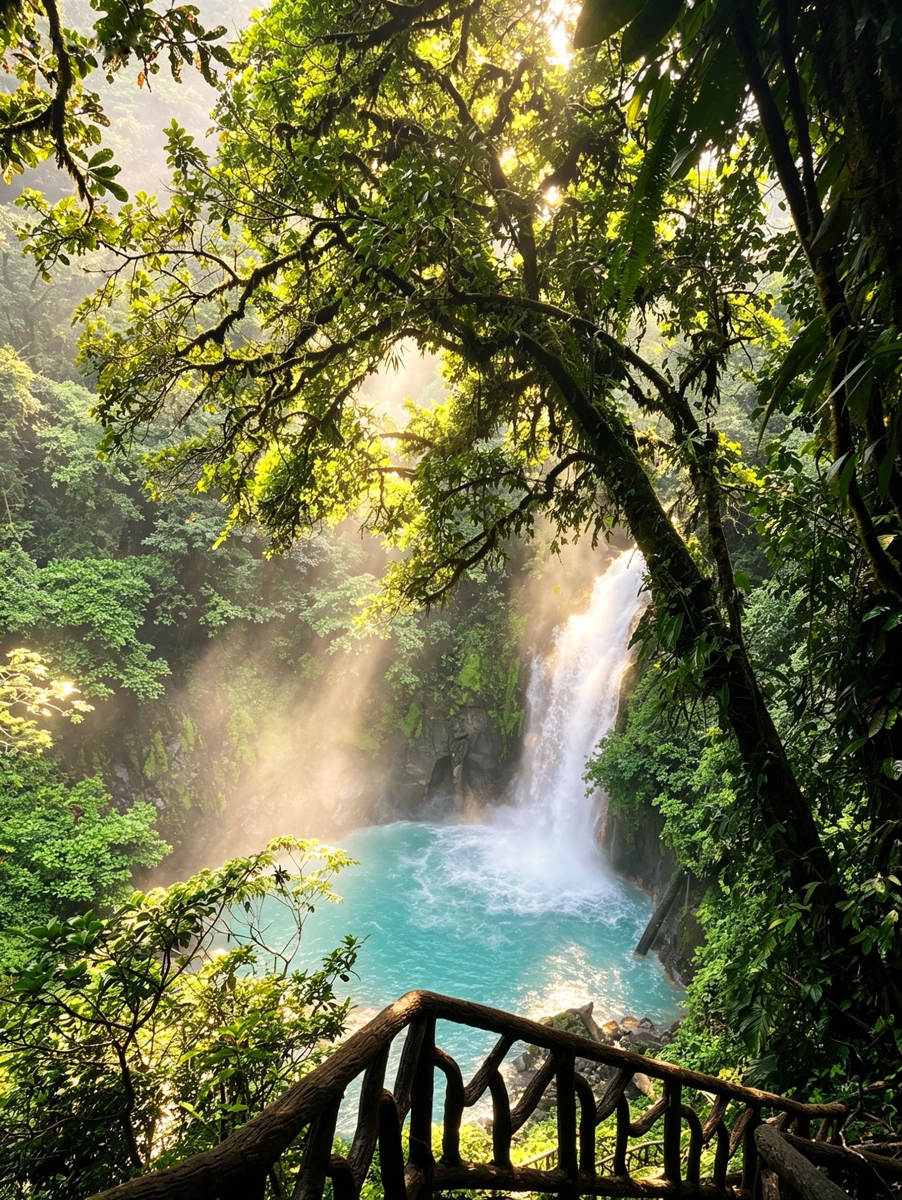
A village nestled between forest and sea, Montezuma appeals with its waterfalls accessible on foot from the centre, one of which cascades directly onto the beach. The atmosphere is alternative and peaceful, far from mass tourism.
Sámara and Nosara
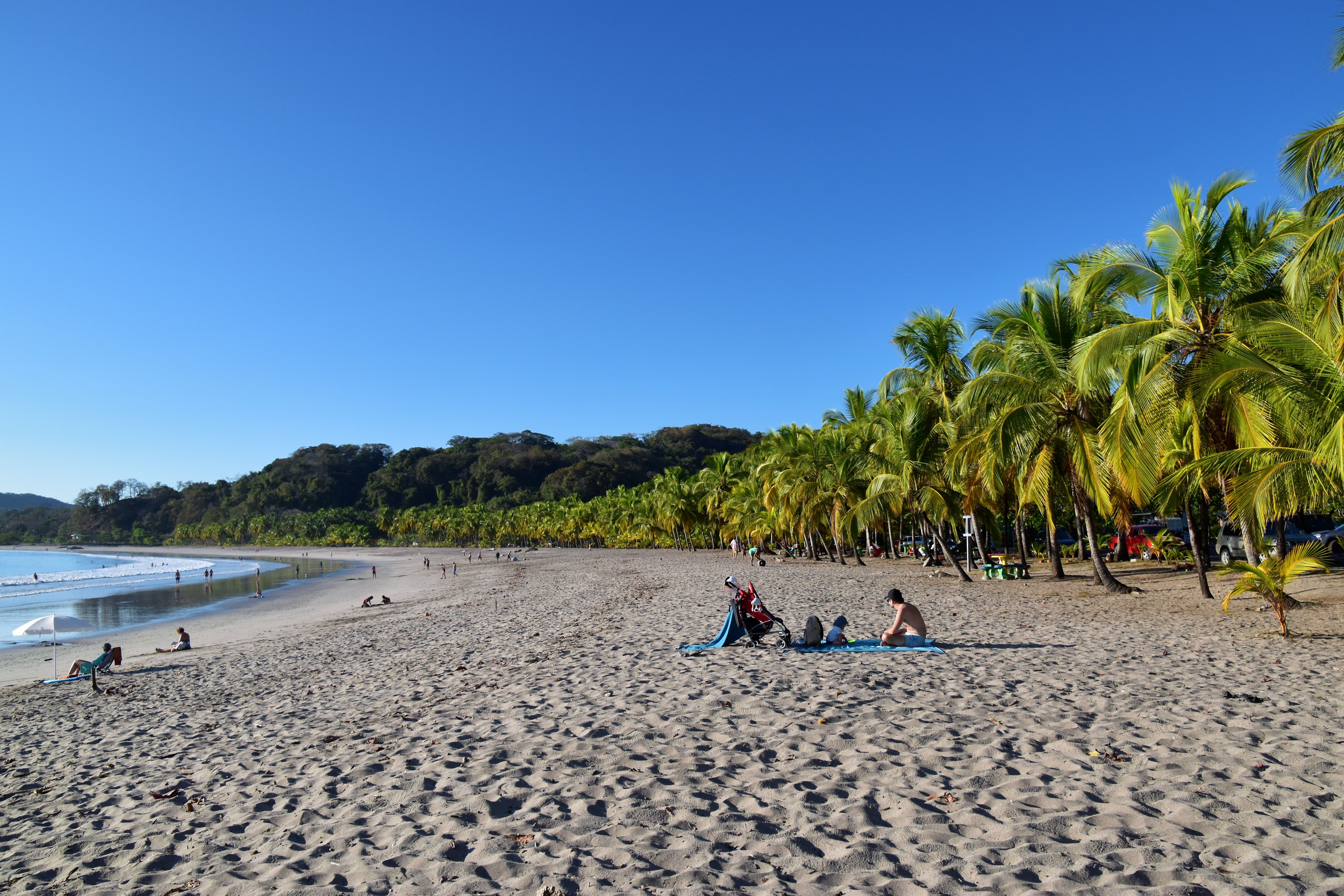
Sámara offers a sheltered bay, ideal for families and sea kayaking beginners. Nosara, further north, is known for its long, consistent waves (Playa Guiones) and its large international yoga community.
Cabo Blanco Natural Reserve
Costa Rica's first protected area (created in 1963), Cabo Blanco occupies the southern tip of the peninsula. Its trails cross dense forest to isolated beaches frequented by brown pelicans and frigatebirds.
Photo tips
Golden light at sunset on the Pacific coast is optimal between 5 and 6 p.m. depending on the season. The estuaries of Tamarindo and Nosara offer spectacular reflections in the late afternoon. For wildlife, early morning hours in the dry forest maximise monkey and bird sightings. Avoid flash on sea turtles during night nesting — local guides enforce strict rules on this.
Location and access
The Nicoya Peninsula is bounded to the north by Guanacaste Province and to the south by Puntarenas Province. Two main routes structure access:
- By road: from Liberia (Daniel Oduber International Airport), Route 21 descends towards Nicoya, then secondary roads serve the beaches.
- By ferry: from Puntarenas, Naviera Tambor ferries (to Paquera) and Coonatramar (to Naranjo) allow you to reach the southern peninsula, avoiding a long road detour.
- By air: domestic flights (SANSA, Skyway) connect San José to airstrips in Tamarindo, Nosara and Tambor.
Accessibility for people with reduced mobility is limited in the majority of beaches and villages due to unpaved roads and soft sand.
Nearby
- Rincón de la Vieja National Park — active volcano and hot springs accessible from Liberia, north of the peninsula.
- Palo Verde National Park — wetland area of the Gulf of Nicoya, exceptional for observing migratory birds.
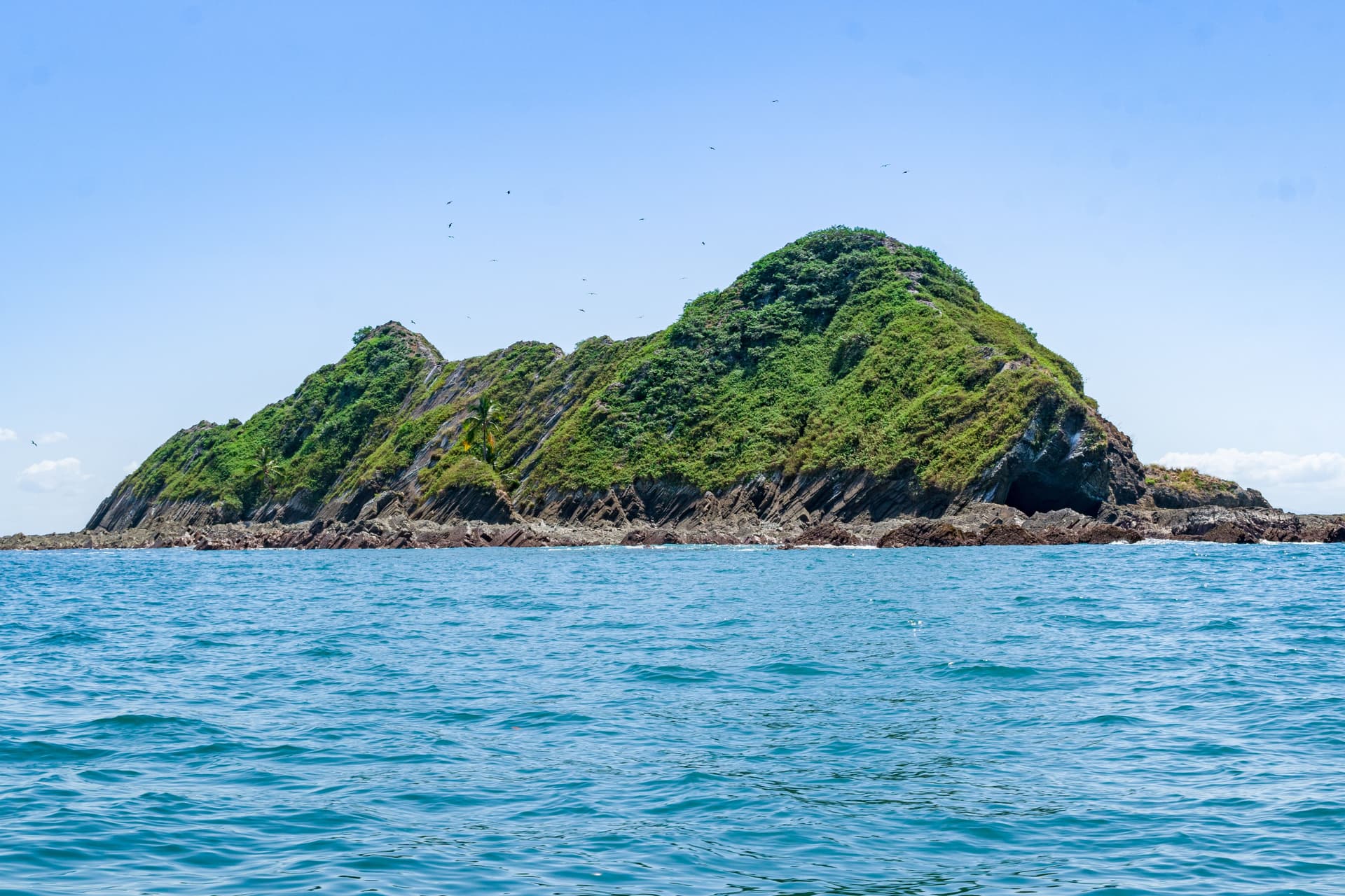
- Tortuga Island — private island in the Gulf of Nicoya, accessible by boat from Paquera or Montezuma, turquoise waters and snorkelling.
- Liberia — capital of Guanacaste, northern gateway to the peninsula, with its colonial centre and white church.
Frequently asked questions
The dry season (December-April) guarantees passable roads and sunny beaches. The green season (May-November) offers fewer tourists and denser vegetation, but some tracks become impassable without a 4×4.
For the southern beaches (Santa Teresa, Montezuma, Cabo Blanco) and during the rainy season, a 4×4 is highly recommended. The Tamarindo, Sámara and Nosara areas are accessible by standard car in the dry season.
Three options: overland route via Liberia (approximately 5 hours), ferry from Puntarenas to Paquera or Naranjo, or domestic flight to Tamarindo, Nosara or Tambor. The ferry combined with road is often the most practical for the south.
Yes. Playa Ostional, north of Nosara, is one of the world's most important nesting sites for the olive ridley turtle (arribada). Mass nesting occurs mainly from July to December. Local guides lead night tours.
Allow a minimum of 4 days for one area (north or south). To cover Tamarindo, Nosara, Sámara, Santa Teresa and Montezuma, plan 8 to 10 days accounting for travel time between villages.
Yes, particularly Sámara (sheltered bay, gentle waves) and Tamarindo (developed infrastructure). Santa Teresa and Montezuma are better suited to travellers without young children due to difficult roads and more powerful waves.
Interested in this visit?
We can include it in your personalised itinerary.