Osa Peninsula and Southern Pacific
The wild tip of Costa Rica: 424 km² of primary rainforest at Corcovado, humpback whales in two seasons at Uvita, and a Golfo Dulce protected by Sierpe's mangrove forests.
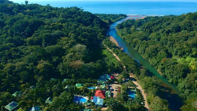
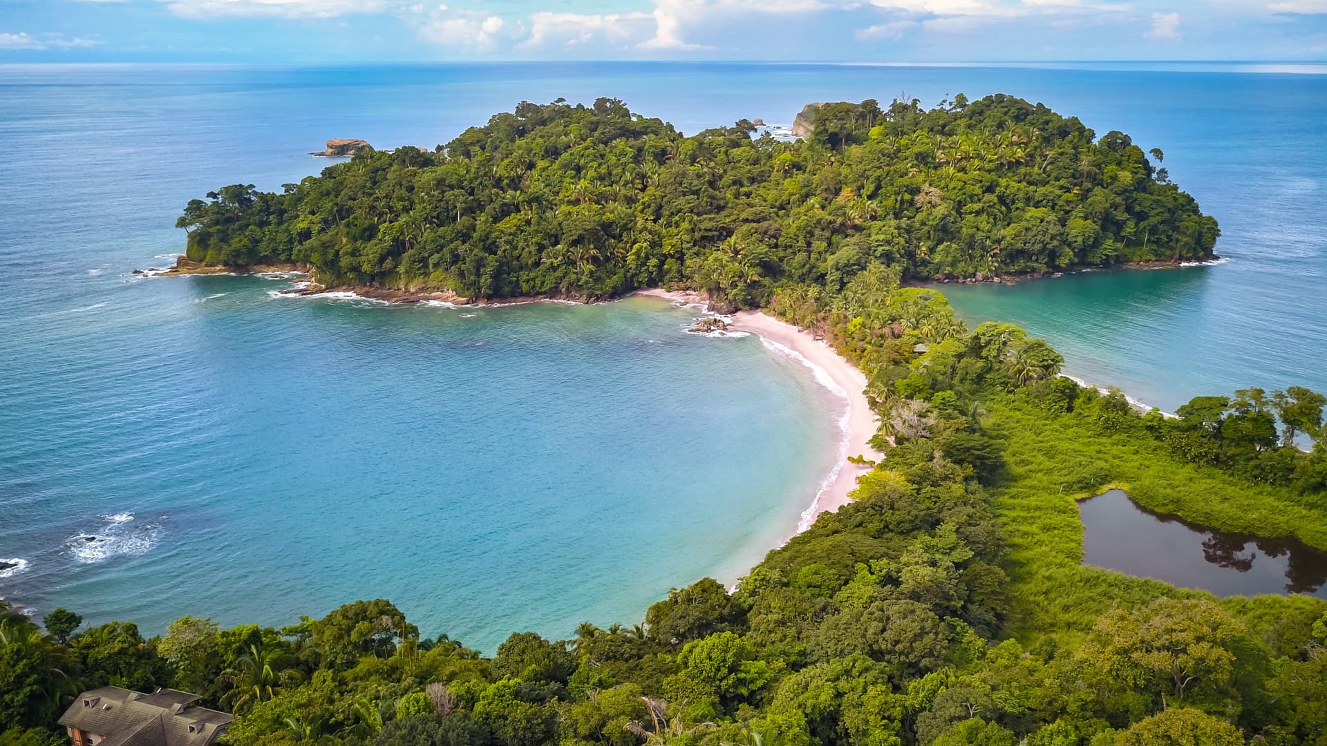
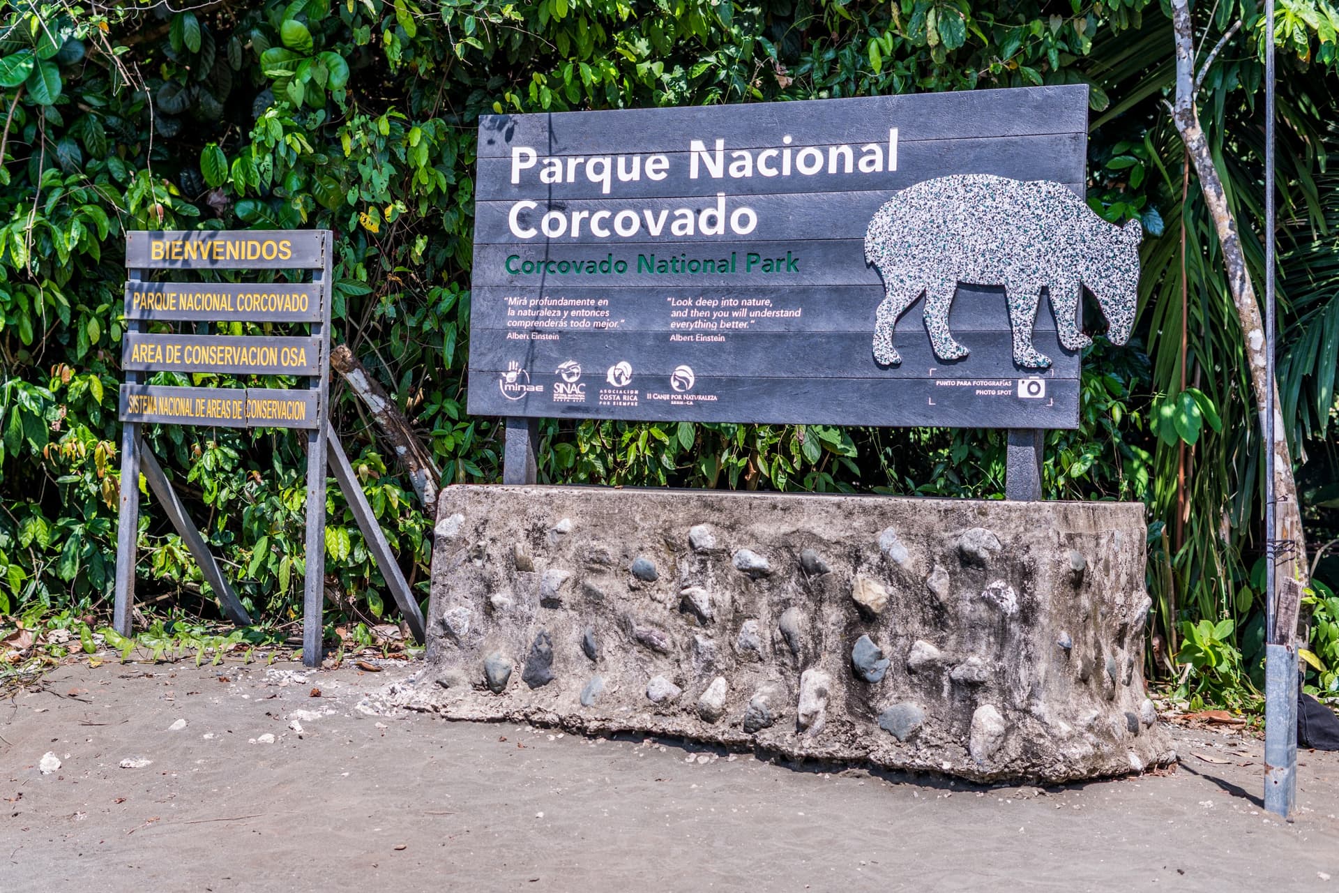
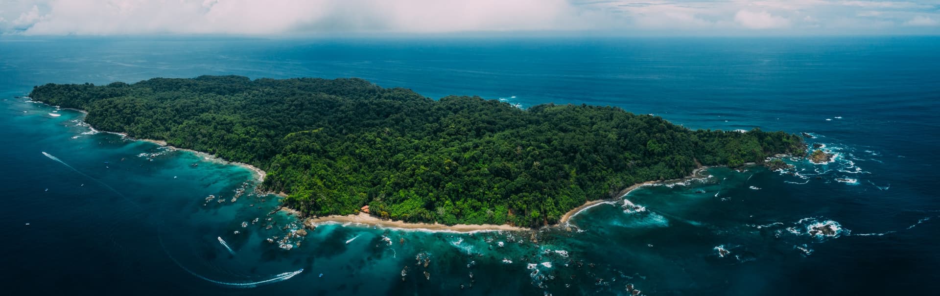
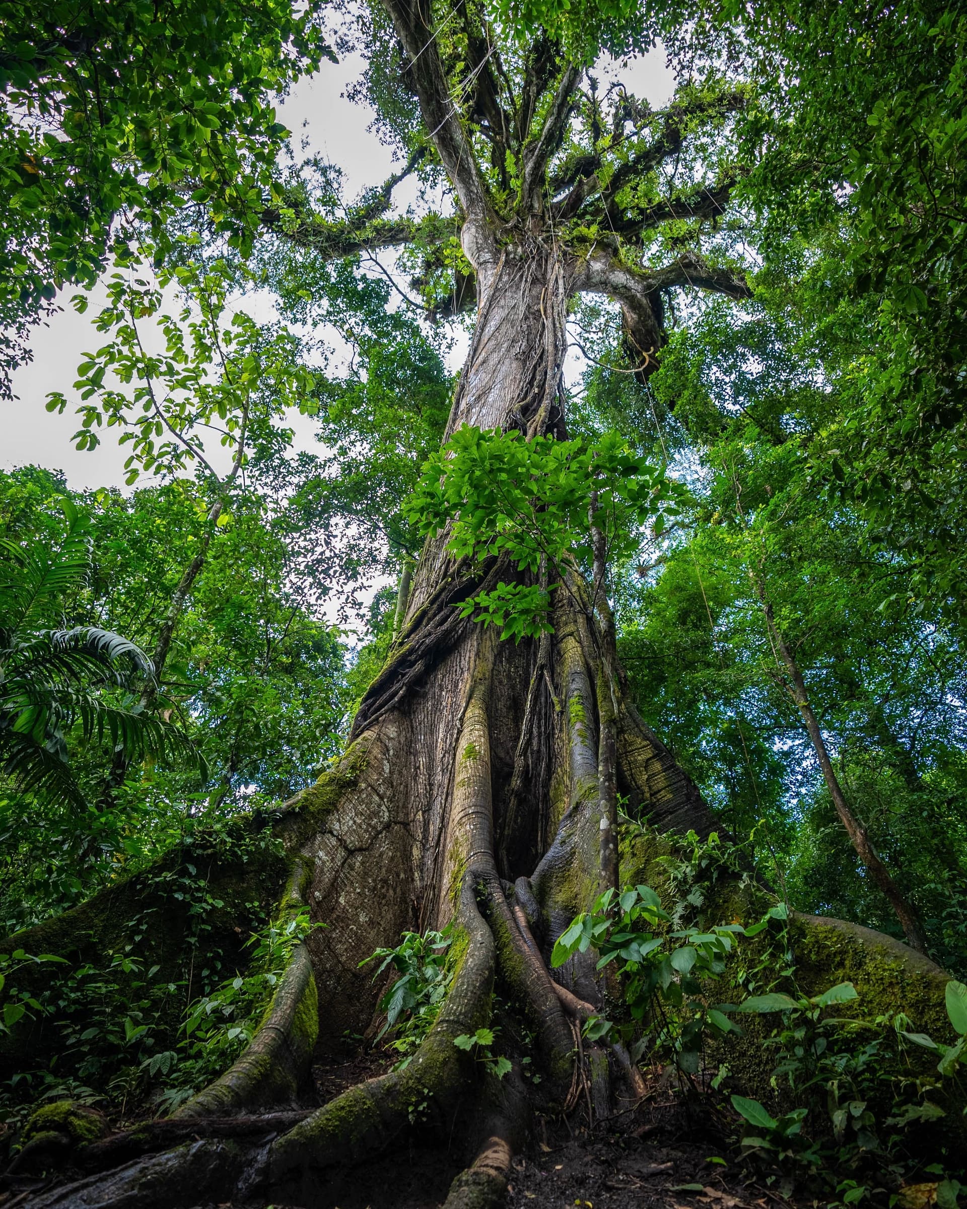
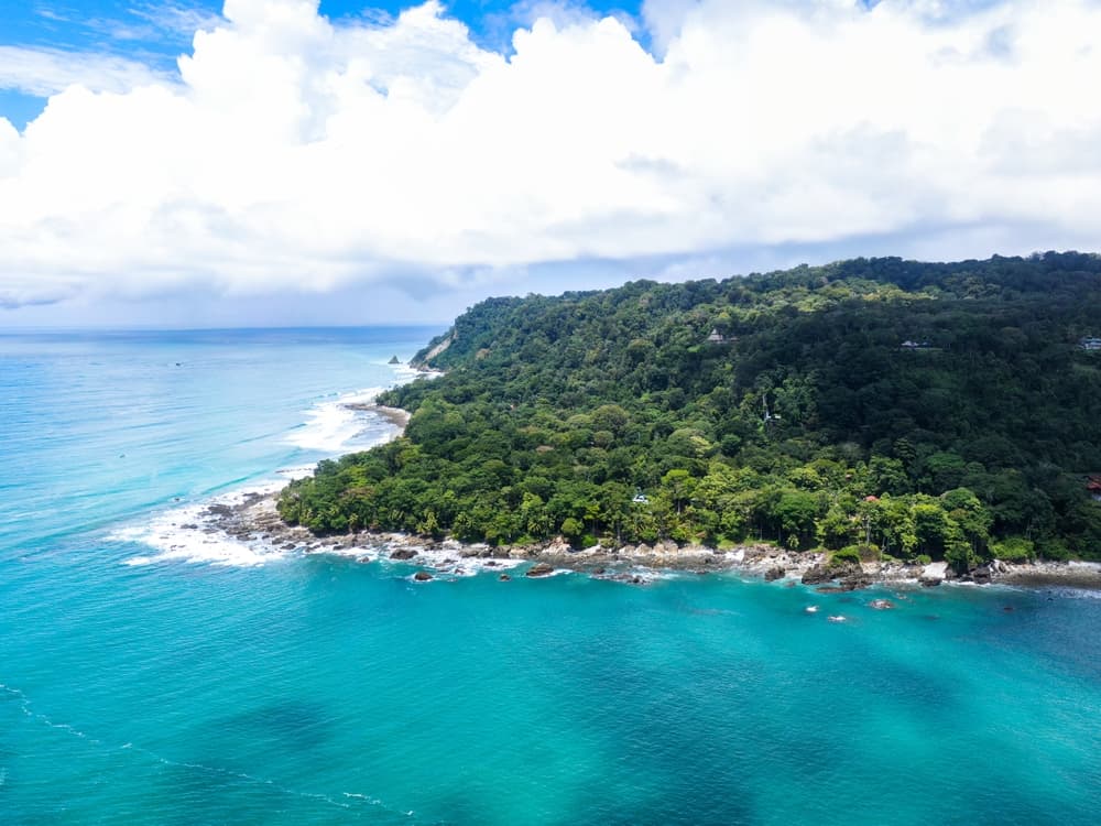
The Osa Peninsula and Southern Pacific form the least tamed corner of Costa Rica. Eight hours' drive from San José via coastal Route 34, or fifty minutes by air to Puerto Jiménez or Drake Bay, you enter a geography of river mouths, mangrove forests and primary rainforest descending to the sea. Here, across 424 km² of nearly continuous jungle, stretches Corcovado National Park, the last intact block of lowland tropical humid forest on Central America's Pacific coast.
Climate shapes everything. The dry season runs from January to April, with days around 30 to 32°C and humidity remaining high. From May onwards, afternoon showers return, brief at first, then sustained between September and November—months when several Corcovado lodges close for maintenance. This rainfall, reaching up to 5,500 mm annually on the peninsula's western slopes, explains the density of vegetation cover and the wildlife concentration that biologists have documented since the 1970s.
Wildlife-wise, the region concentrates the species many come to Costa Rica hoping to see: Baird's tapirs descending to drink at Sirena, jaguars whose prints mark the black sand beaches, four monkey species (spider, howler, white-faced capuchin, squirrel) often spotted in the same morning, loud red macaws in pairs above the canopy, anteaters, white-lipped peccaries. Golfo Dulce, in sheltered waters, shelters dolphins, seasonal hammerhead sharks and humpback whales.
Human settlement remains discreet. Puerto Jiménez, a former gold prospectors' village on the gulf, serves as a logistics hub with its airstrip and a handful of sodas where you can eat a fish casado for 5,000 colones. Drake Bay, reachable by boat from Sierpe as you navigate upriver through mangrove forests, lives on nature tourism and fishing. Further north, Uvita and Ojochal form a string of small coastal settlements, with an unexpected food scene run by European and Québécois residents. On the interior heights, San Vito and the Coto Brus valley maintain an agricultural identity focused on coffee and an Italian diaspora that arrived in the 1950s.
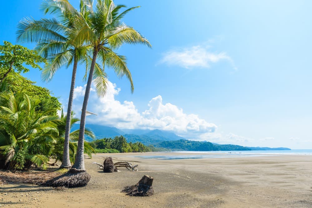
Marino Ballena Park, around Uvita, owes its name to a whale's tail drawn by a sandbank at low tide, and to the dual humpback whale observation season: southern populations from July to October, northern populations from December to March. It's one of the few places on Earth where these two groups overlap in the same area. Inland, the Talamanca cordillera peaks at Cerro Chirripó (3,821 m), accessible in two days' hiking from San Gerardo de Rivas, with nights around 5°C in the refuge.
The local economy rests on three pillars: nature tourism, artisanal fishing in Golfo Dulce, and agriculture (African palm on the coast, coffee at altitude, tilapia in ponds). The indigenous Boruca and Ngöbe communities, settled further south toward Buenos Aires and the Panamanian border, still celebrate the Diablitos festival each late December, a ritual dance reenacting the clash between ancestors and Spanish colonists.
What to discover
Corcovado from Sirena station. Two nights at the ranger post deep in the forest, with a mandatory naturalist guide. Dawn outings on the Los Patos trails and Llorona beach, where tapir and jaguar prints can be read in the black sand.
Humpback whales at Marino Ballena Park. Three-hour boat trips from Uvita between August and October, the densest period for mothers and calves. The whale-tail-shaped sandbank can be walked across at low tide.
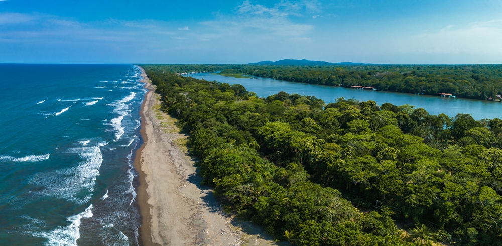
Golfo Dulce and Sierpe mangroves. Boat journey up the Sierpe-Térraba delta, Central America's second-largest mangrove system, with crocodiles, ibis and kingfishers before reaching Drake Bay by sea.
Diquís pre-Columbian spheres. These perfectly round stone balls, carved between 600 and 1500 AD by Diquís culture, are visible at sites like Finca 6 near Palmar Sur, UNESCO-listed in 2014. Their purpose remains debated.
Cerro Chirripó, the country's roof. Two-day ascent from San Gerardo de Rivas (1,350 m) to the summit at 3,821 m. Páramo landscape, glacial lakes, and on clear days views of both oceans from the Crestones.
When to go
The best window for the Osa Peninsula is January to April: reduced rainfall, Corcovado trails passable, decent underwater visibility around Caño Island. Temperatures range between 24°C at night and 32°C during the day, with humidity never dropping below 75%. May and June mark the return of afternoon showers, often compatible with morning forest programs. July through early September offer an interesting compromise for humpback whales, with mornings still clear. September and October concentrate the heaviest rains, up to 700 mm monthly at Drake Bay, and several Corcovado lodges close then.
Along the coastal Southern Pacific (Uvita, Dominical, Ojochal), seasonality is slightly less extreme than at Osa, with favorable weather windows through July. At altitude, in the Talamanca cordillera and around Chirripó, nights drop to 5°C or below from December to February, and the summit can freeze. For this climb, February and March remain the driest months.
Practical advice
To genuinely experience this region, we recommend a minimum of four nights: two at Drake Bay or Puerto Jiménez to access Corcovado with a naturalist guide, and two around Uvita or Ojochal for the coast, whales and Nauyaca waterfalls. Access is via coastal Route 34 from San José (six to eight hours with stops), or by Sansa flight to Drake Bay or Puerto Jiménez (around 50 minutes). For Corcovado, the boat from Sierpe to Drake Bay remains the easiest route; the Puerto Jiménez to Carate track requires a 4x4 and river crossings by ford.
The most coherent combination for a fifteen-day trip pairs the Osa Peninsula with the Arenal and Monteverde region (volcanoes and cloud forest, strong ecological contrast) and a Central Valley stop at trip's start or end. Combining Osa with the North Pacific and Guanacaste makes less sense: you'll find drier climate and more developed beaches, a redundancy we'd discourage on a single trip. Comfort levels range from rustic eco-lodges deep in jungle (solar panels, warm water, no wifi) to boutique hotels on Uvita heights with infinity pools. The region suits nature-focused travelers, hikers and contemplative types; it works well for families with children from eight years old, provided you accept heat, insects and sometimes long transfers.